
Date posted: Nov 30, 2021
 It has been 3 weeks since our last outing and after the weekend snow and gales (Storm Arwen) we thought we would make the most of a day that promised to be calm and bright.
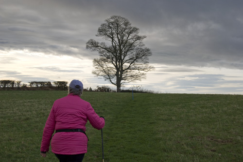
On our drive down to Bridgnorth I realised that I had left Triggy behind. Oh well, too late to go back and get him. We’ll have to take photos “Sans Triggy” I said.
Tuesday 30th November
Trigpoint #68 – Upper Farmcote.
We arrived at Upper Farmcote at 11:00 and parked the car about 50 yards from the footpath leading to the trigpoint. Upper Farmcote is a small cluster of houses and a pub, the Lion O’Morfe just east of Bridgnorth on the A458.
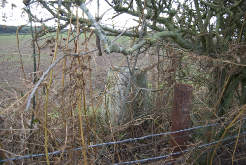
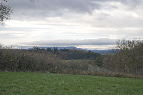
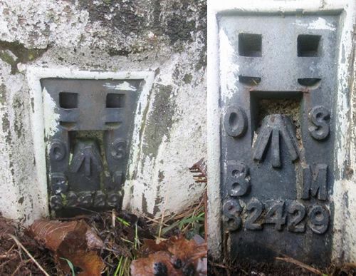
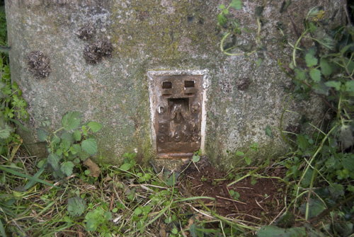
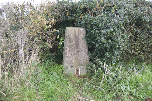
We followed the path for a very short distance, perhaps 200 yards when we saw the trigpoint hidden in a hawthorn hedge and behind a barbed wire fence. We were not able to get as close to the trigpoint as we had hoped but were able to get some pictures.
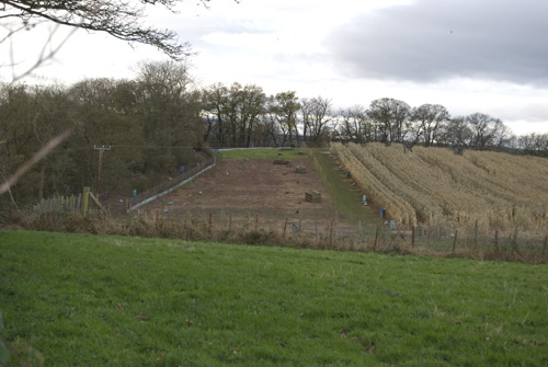
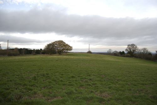
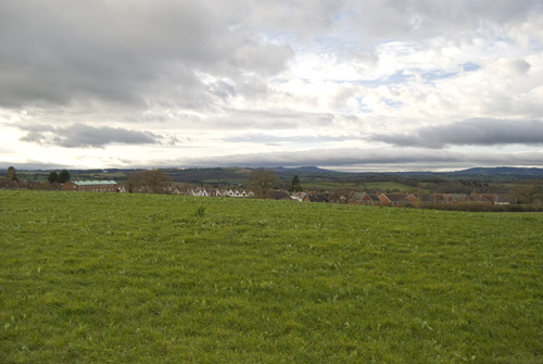
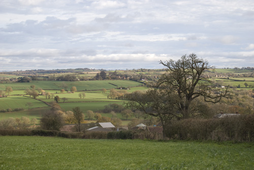
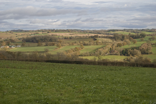
There seemed to be a pheasant farm in the next field as there a very large number of them running about and making a noise. The views weren’t great but we could see as far as the hills around Much Wenlock. We headed back to the car and drove onto Chelmarsh.
Trigpoint #69 – Chelmarsh.
It took about 15 minutes to get to Chelmarsh and in doing so we crossed the River Severn and skirted the South side of Bridgnorth. We parked beside the church of St. Peters and walked along the very busy B4555 for about 100 yards. We quickly left the road and crossed a field and passed through Manor House, a large farm.
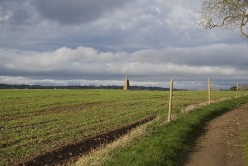
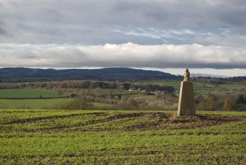
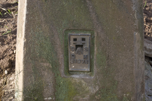
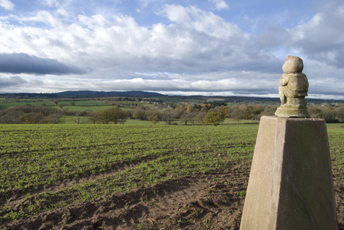
We continued along the path and in the distance, on the top of a small rise we could see the trigpoint. It was not the normal trigpoint shape but as we approached it we could see that there was a gnome sitting on the top. Triggy would have been jealous!
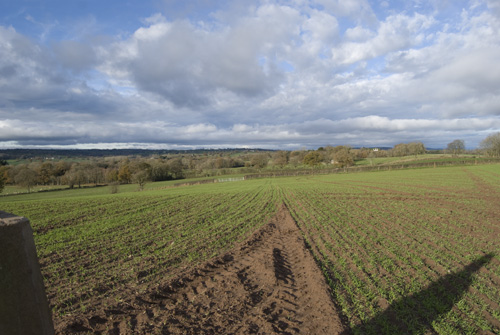
We crossed to the trigpoint and took some pictures of it and of the surrounding views. We could see much more that we could on the previous trigpoint so it was more enjoyable.
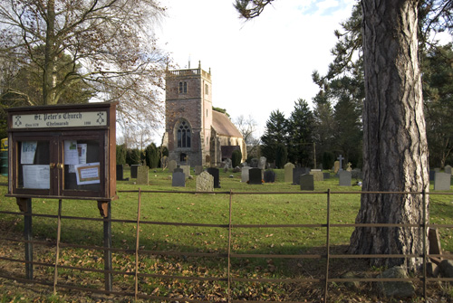
We then headed back to the car and took some pictures of St. Peter’s church on the way.
Trigpoint #70 – Hazelwell.
We continued along the B4555 for aout 2.5 miles till we reached Woodhill and Garden Village. We parked in Hazelwells Road and followed a path that led across some fields. The trigpoint was beside the path and slightly hidden in the hedge.
The views west were across the Severn valley although we couldn’t actually see the River Severn or the famous Severn Valley Railway. The views in the other direction were just of the Garden Village houses and were not very pretty.
We took our pictures and then walked back to the car. We made our way to the railway and crossed a bridge to get to the Severn Valley Country Park. This was a very quiet spot so we had our lunch there and a very peaceful walk around the park before we headed back home.
Technical Stuff.
Upper Farmcote – TP6660 – Map Ref: SO 77150 91656 – Flush Bracket: S2429
Chelmarsh – TP2137 – Map Ref: SO 71555 88229 – Flush Bracket: S1978
Hazelwell – TP3693 – Map Ref: SO 73579 84729 – Flush Bracket: S1979
Please share this page