
Date posted: Oct 17, 2021
 It was a miserable day when we woke up; dull and drizzly. Not a day for trigpointing, I thought. After a discussion over breakfast we decided that we needed to get out if we were hoping to get everything done by the end of the year. Still 35 to go and December will be pretty well taken up doing the Santa run.
We decided that we would head down to Clun and visit a few trigpoints in that area. There were two trigpoints that I had been looking forward to as they are situated almost on the Welsh/English border.
Sunday 17th October
Trigpoint #62 – Black Hill.
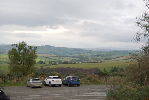
We left home just before 11:00 and drove to Clun which is in South Shropshire. It’s about 50 miles from home so we arrived at 12:45. The weather had brightened but still overcast. The road to Black Hill from Clun was interesting; a narrow winding lane from Clun church and up a steep hill to a parking area beside a Forestry Commission area.
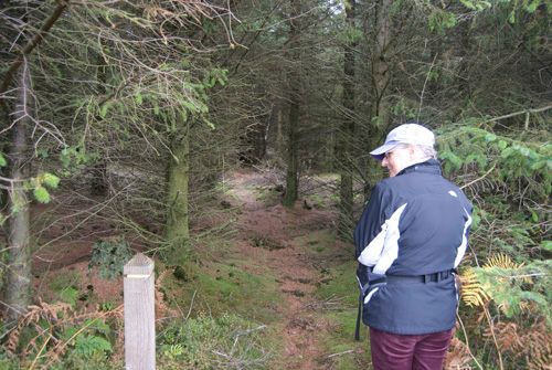
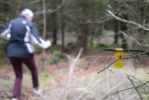
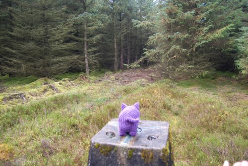
According to the map the trigpoint was in the middle of the forest. We walked up the tracks till we were close to the trigpoint. The OS app. showed that we would have to leave the track and walk between the trees till we reached the trigpoint. Surprisingly there was a post at the entrance to the forest so we went in there. As we made our way between the trees I noticed there were little yellow tags on the branches of some trees. It soon became apparent that in following the yellow tags we would be led through the forest to the trigpoint.
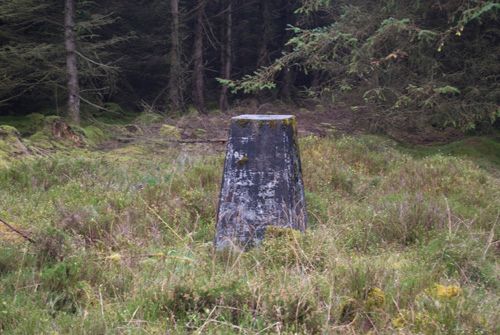
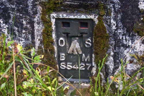
The trigpoint was in a small clearing and was almost black with a form of mildew. We took the photos we need to prove we have been there and made our way back to the track by following the yellow tags again. Once we were on the track we returned to the car for our packed lunch.
Trigpoint #63 – Shadwell Hill.
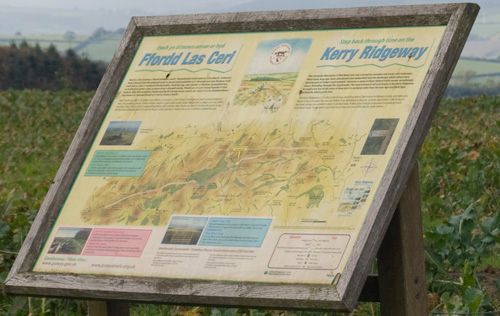
When we had had our lunch we headed back down the narrow lane to Clun. We passed through this small town and joined the B4368. We drove along this road, passing through the small village of Newcastle and on to the Welsh border. Just before the border, at a hamlet called Anchor, we turned right and headed up a hill to another Forestry Commission area and joined a very rutted track called the Kerry Ridgeway. This track was right on the border with Wales and we drove along it till we reached a small area where we could park the car. This was Shadwell Hill.
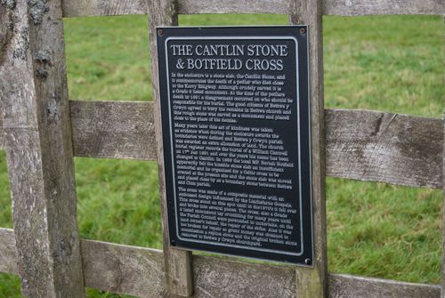
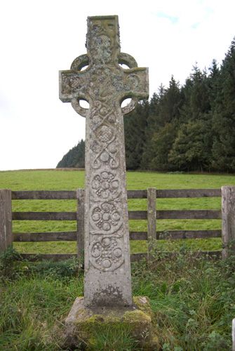
We left the car and walked along the edge of a wood and into a field containing a number of sheep. There was a cross in the field and a sign fixed to the surrounding fence. This sign told the story of the stone and cross. It read….
THE CANTLIN STONE & BOTFIELD CROSS
In the enclosure is a stone slab, the Cantlin Stone, and it commemorates the death of a pedlar who died closeto the Kerry Ridgway. Although crudely carved it is a Grade 2 listed monument. At the time of the pedlars death in 1691 a disagreement occurred on who should be responsible for his burial. The good citizens of Bettws y Crwyn agreed to bury his remains in Bettws church and this rough stone was carved as a monument and placed close to the place of his demise.
Many years later this act of kindness was taken as evidence when the enclosure awards were defined and Bettws y Crwyn parish was awarded an extra allocation of land. The church burial register records the burial of a William Cantrell on 17th Jan 1691 and over the years his name has been changed to Cantlin. In 1858 the local MP, Beriah Botfield apparently felt the humble stone slab an insufficient memorial and he organised for a Celtic cross to be erected at the present site and the stone slab was to be moved and placed close by as a boundary stone between Bettws and Clun parish.
The cross was made of a composite material with an embossed design influenced by the Lindesfarne Gospels. This cross stood on this spot until in the 1970’s it fell over and broke into several pieces. The cross, also a Grade 2 listed monument lay crumbling for many years until the Parish Council were persuaded to undertake, on the landowner’s behalf, the repair of the stone. Alas it was too broken for repair so grant money was obtained to commission a replica stone and the original broken stone removed to Bettws-y Crwyn churchyard.
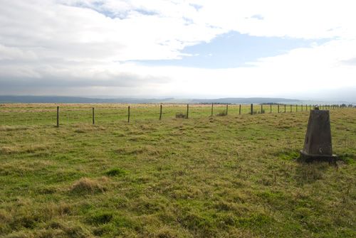
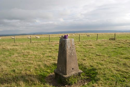
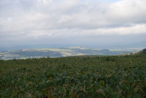
We left the stone and cross and headed up the field to the trigpoint. The views were great and so we took photos of the trigpoint and surrounding area. Then we headed back down the field and back to the car and on to the next trigpoint.
Trigpoint #64 – Maes-Gwyn.
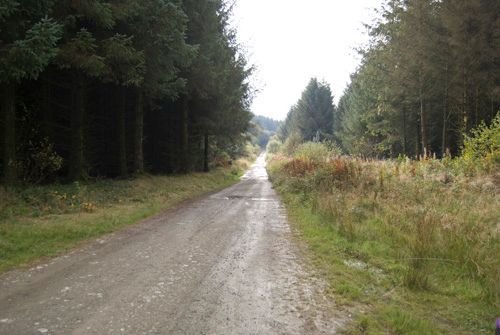
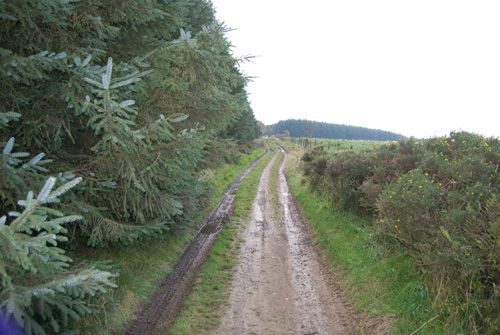
We continued along the Kerry Ridgeway. This trigpoint was going to be just over 1 mile away along this rutted track. The car bounced along through puddles and bumps till we pulled up alongside another Forestry Commission plantation. The trigpoint was apparently in the middle of the plantation.
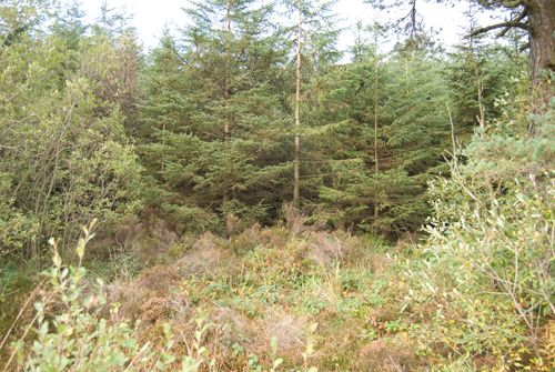
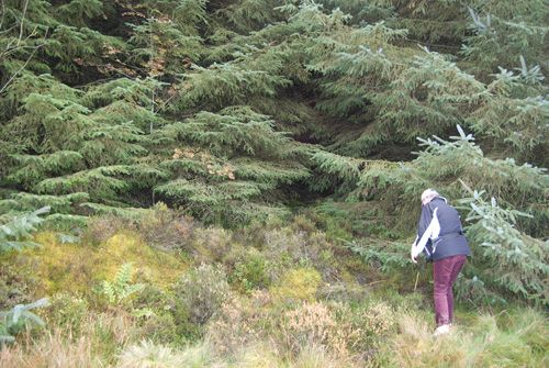
We left the car and walked alongside the plantation looking for a way through the trees to the trigpoint. It was impenetrable! There was no way that we could get through the trees.
We drove round to the other side of the plantation and it was impossible to get to the trigpoint. We took photos of the area and the views then returned to the car and headed back home a bit disappointed. It had still been a great day though!
Technical Stuff.
Black Hill – TP1417 – Map Ref: SO 32623 79012 – Flush Bracket: S5427
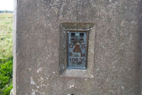
Shadwell Hill – TP5907 – Map Ref: SO 20124 86555 – Flush Bracket: 10630
Maes-Gwyn – TP4604 – Map Ref: SO 22055 88180 – Flush Bracket: Unknown
Please share this page