
Date posted: Oct 1, 2021
 The day was bright so we thought we would visit a few more trigpoints. We decided that we would take on Stiperstones and hopefully a couple of others on the way home. We started off about 10 o’clock and headed along the A488. The traffic was light and we were there about hour after leaving home.
Friday 1st October
Trigpoint #59 – Stiperstones.
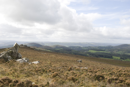
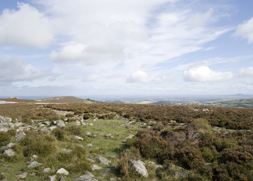
We parked the car in the Knolls car park. It was a beautiful clear day and we could see for miles. There were a few cars in the car park and a van disgorging a group of young people who were obviously on some sort of walking expedition.
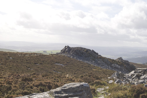
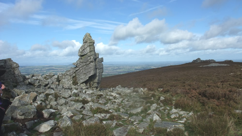
The Stiperstones were clearly seen at the top of the hill so we headed in that direction through a gate onto the heathland. The Stiperstones are a number of tors made of quartzite. According to legend it is where Shropshire witches met to sup with the devil as he sits on the rock called the Devil’s Chair.
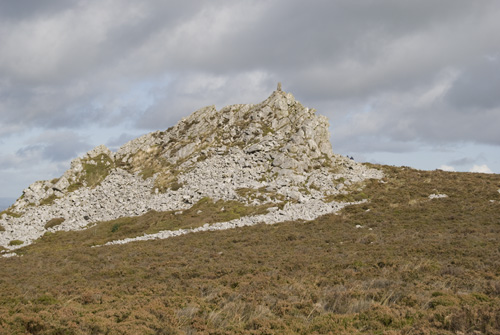
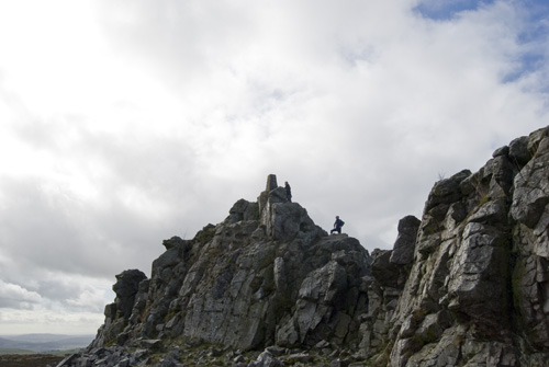
The Stiperstones trigpoint can be found at the top of Manstone Rock and that was where we headed. We quickly passed the group of young walkers while they were trying to sort out where they were heading and made our way up the hill.
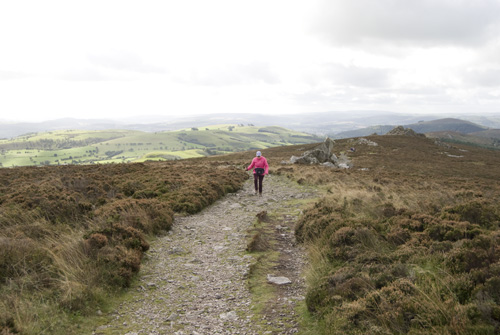
The wind was a gentle breeze and we started out wearing light jackets. Thankfully we had packed more weatherproof gear in our daysack. It was just as well, as we had only walked halfway up the hill when we needed to put on more windproof gear. The path on Stiperstones is quite treacherous. We had to step from rock to rock and could have slipped and twisted an ankle. This was not a simple stroll and the majority of the path required constant watching to ensure accidents don’t happen.
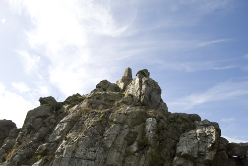
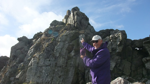
By the time we reached Manstone Rock there was a hard wind blowing from the west and had a definite chill to it. It was so strong that I decided it was unsafe to scramble the last few rocks to get to the trigpoint. It was very exposed and the wind could have blown us off the pinnacle.
We met a few hardy walkers while we were at the summit and one foolhardy fellow thought he would get to the trigpoint despite the wind. He didn’t get blown off but he did admit later that he rather regretted his actions when he was up there.
We took what photos we could and then headed back down the hill to the car. On our walk down we met the group of young walkers that we had passed at the start and they told us they were on a Duke of Edinburgh’s Bronze task. They had camped the previous night and the rain had got into the tent and their clothes were still very wet. We wished them well and hoped they completed the task by the end of the day.
We continued down the hill and soon reached our car and a warming cup of coffee.
Trigpoint #60 – Greenfields.
We left the Knolls car park and headed back down to the A488. We crossed it and headed up a minor road for nearly a mile. We parked the car at the side of the road by Bromlow Common. The Greenfields trigpoint was east of us and could be clearly seen at the top of the hill.
We crossed the road and went through a gate onto the common. We followed the path till we reached another gate into a farmer’s field. We had been walking round the bottom of the trigpoint hill as there was no way we could climb over barb-wire fences and dry-stone walls without doing damage.
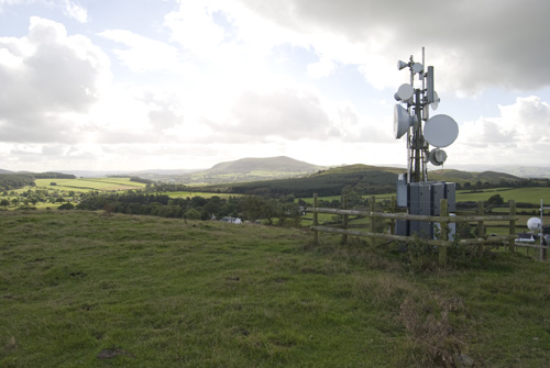
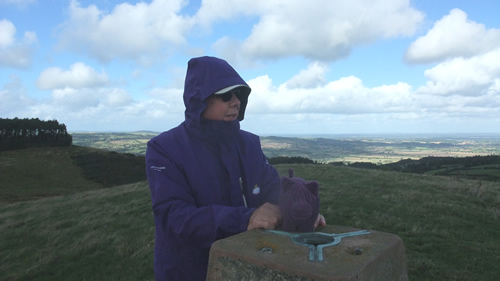
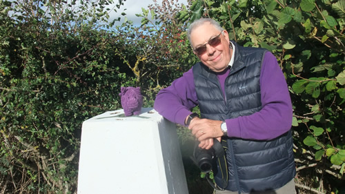
As we entered the field we saw that we could now climb the hill by following another path. The climb was steep but nothing like some we had done on other days. We quickly reached the top and found the trigpoint. The wind was as strong as it had been on Stiperstones, which we could see on the horizon, but it didn’t hinder us taking the necessary photos. We did have to hold onto Triggy as he was in danger of being blown away.
When we had gathered our evidence we retraced our steps and returned to the car. On to the next trigpoint.
Trigpoint #61 – The Edge.
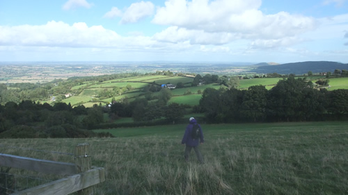
We continued along the narrow road and down some seriously steep hills till we reached the B4386 at Brockton. We headed east till we reached Stoney Stretton. We turned right here and went down another narrow country road. The trigpoint was situated just before the village of Edge.
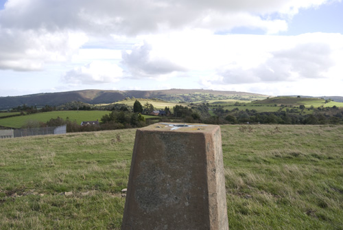
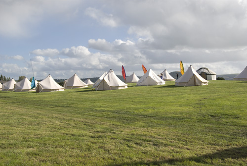
We parked the car alongside the road and walked alongside a ploughed field till we reached the position where the trigpoint was supposed to be. There was a thick hedge and through that hedge we could see the trigpoint. Also through that hedge were a number of large tents. A campsite we thought!
We went back to the car and drove a short distance further along the road. We encountered a couple of coaches letting off a large group of people who then started walking across the field towards the tents. When the coaches moved off we drove into the field and spoke to a man. We told him what we were doing and asked if we could do our thing at the trigpoint. He saw no objection to this.
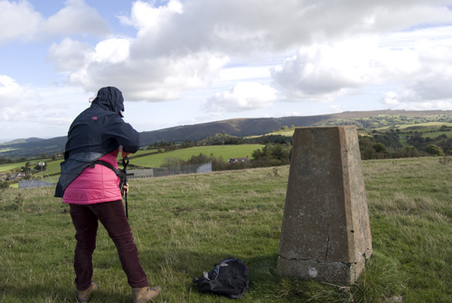
We parked the car in the field and walked to the trigpoint. There was a very large crowd of people settling into the tents and it turned out they were at their company’s ‘away weekend’ event. The company was based in London and the staff were staying in the tents for the weekend and doing things while they were there. We didn’t ask any more. We took our photos, returned to our car and headed home.
Technical Stuff.
Stiperstones – TP6185 – Map Ref: SO 36752 98645 – Flush Bracket: S5123
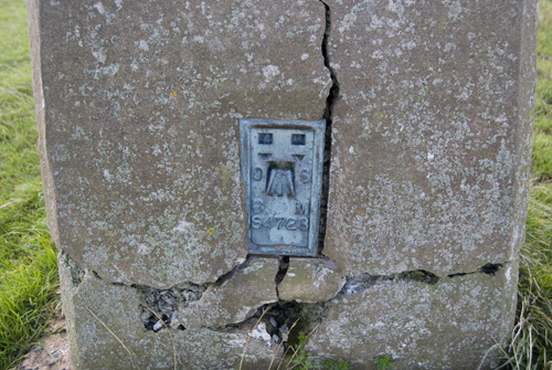
Greenfields – TP3489 – Map Ref: SJ 32679 00891 – Flush Bracket: S4723
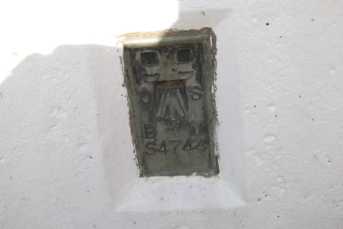
The Edge – TP6379 – Map Ref: SJ 39375 09127 – Flush Bracket: S4744
Please share this page